
A sample of one of the many things that made this mountain my favorite one to date.
I was going to write this entry for fellow hikers, and mountain climbers. I had written a report for a mountain site for my family last Wednesday, but the format gave me such fits reducing the photo sizes on my PC and then writing the text on my Mac, which I love–ironically I now know the java code to reduce them in that forum–that I just cannot tolerate that one of the best photos that I have ever taken will only be on it’s side if I write the report there; although I have rotated it. See it appears nicely here (above). So, I’m not doing one on their site. No thanks. I’ll write it here, but warning you that it’s a departure from my normal stuff that I write. This wonderful site for blogging which also does well with photos.
So, you’re warned. This is my geeky, outdoorsy side and the only angst that you’ll get here is my previously mentioned disdain (above) in reference to old coding for writing, and also the heinous Windows 8 which I had to use to reduce the size of my photos for the family report. This will be a favorite account of a hike I took on Thursday. Now, it’s nerd hiker. It commences. I am not offended if you don’t read on.
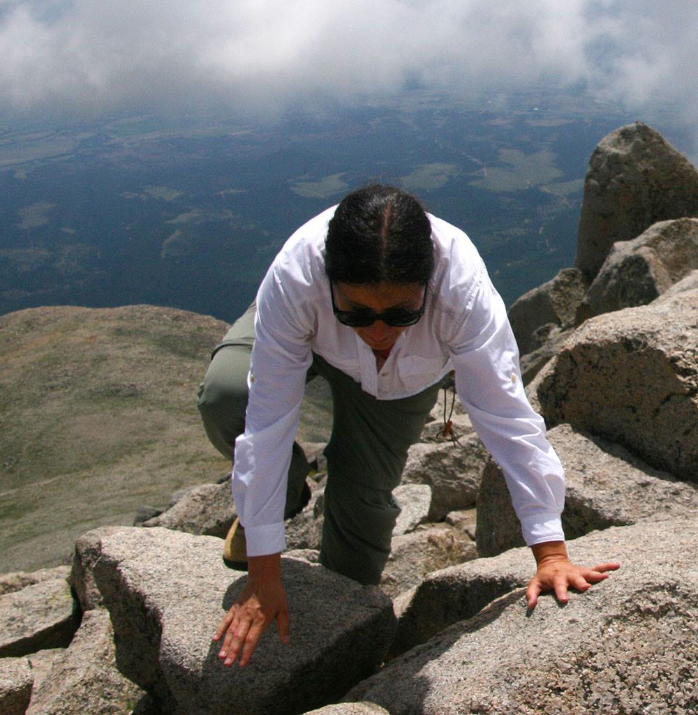
I’ve climbed 17 mountains. It’s like hiking with HUGE elevation gains and some feelings of vertigo on occasion due to being up very high and having to tolerate loose gravel, finding your sometimes elusive route, and once and awhile using what climbers call “three-points.” The latter means that you will be on your hands bent forward and have to reach around with your spare hand or foot when you encounter large rocks. These are usually referred to as boulders, and is akin to bouldering, but they can also be blocky and hard to see around depending on the grade of elevation. Those are called ‘talus.” This is me crawling on talus last summer.
When you’re up this high, you just have to continue.
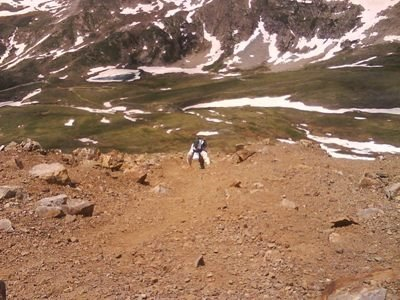
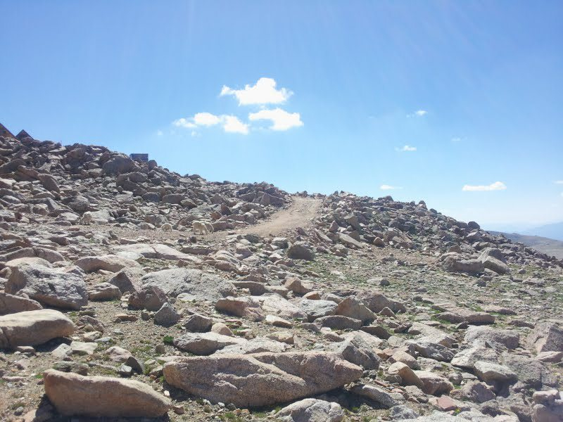
We didn’t have talus on what has become my favorite mountain on Thursday, but we had lots of scree near the top. The latter is loose, sometimes rotten, but always eroded rock that just causes you to slip. It is NOT a treat when you don’t have secure rocks to grab and use for your three-points. Some mountains are just over hiked in spots and get full of a sandy sort of trail portion. We had a lot of that and steep grades at the end of our hike to get to the mountain top. Here is some scree.
I used to climb with a guy 14-years my junior and he slid down stuff and went off trail all the time. Here he is. This picture of him was taken in 2009.
But, it wasn’t super bad or anything… It just meant that we would slide back sometimes and dislodge rocks occasionally. The latter can be dangerous if you’re climbing a crowded mountain. I don’t usually do those ones though. There is one that I have not climbed in our front range, and won’t because it’s crowded and way too steep. I shouldn’t say “won’t.” It’s just doubtful.
We started out at nine, which is really way too late, but had driven over three-hours at that point, and just wanted to hike and get out of the car. At first, we asked for directions in a campsite and a lady got out all of her maps, and she had mixed up north and south, I thought, but I trusted her because she said that she had seen lots of cars driving up the road a bit to the east where she had her tent. We started up a ridiculous road. Whacking branches, little surface and then tons of switchbacks. My friend and I eventually were having insane peals of laughter about the experience. Then, the road just ran out. No more. She had mixed up north and south :).
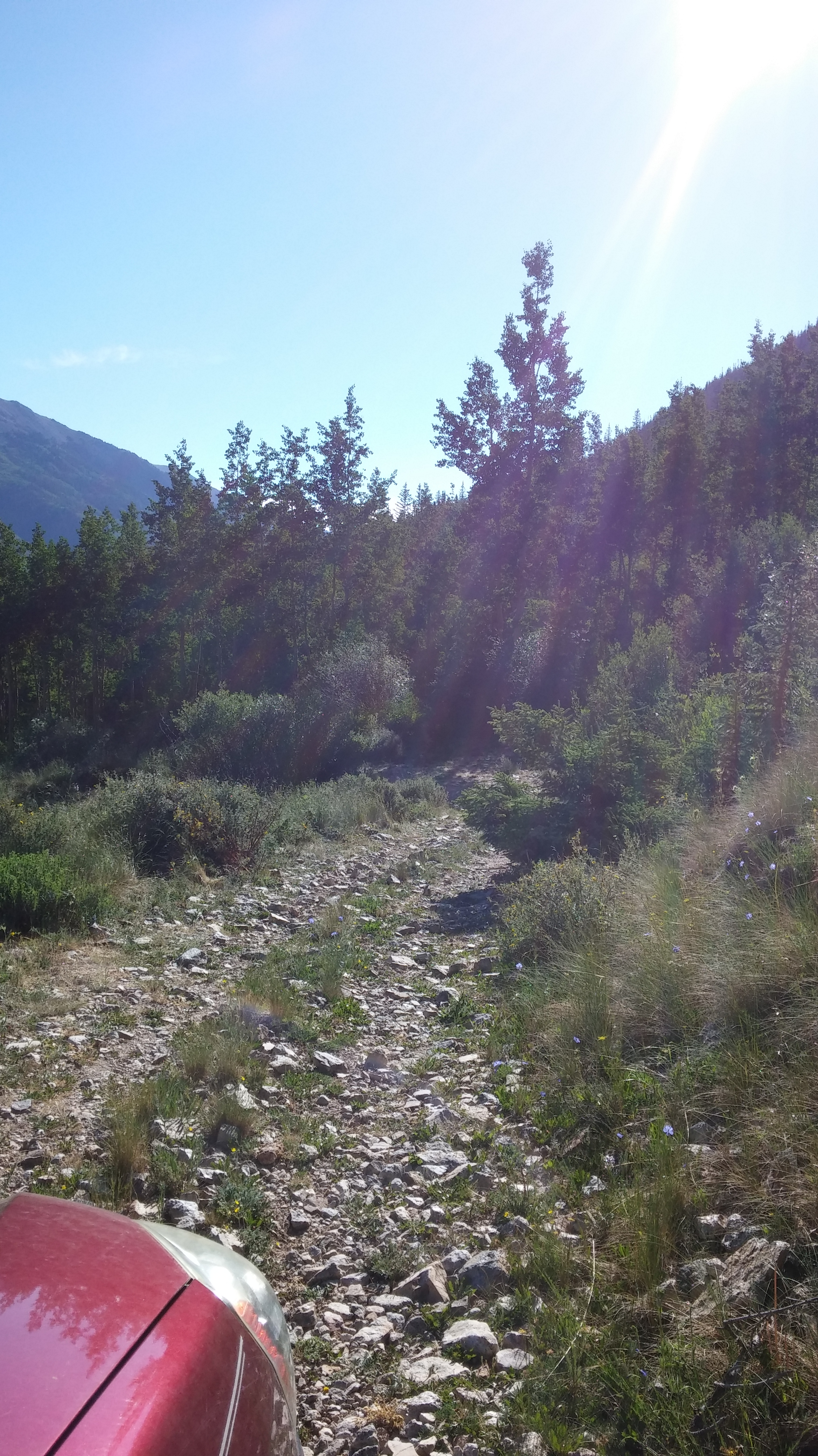
And WE took the road rarely traveled by… Which was wrong… And ended.
Then I said that the original bend that I figured it was, was likely it. Having read reports on the forum with the photo uploading issues, I knew it would be a bad road, but I knew that it would not END. So, we forged on. Then we were behind a guy in a pickup who was backing up really fast. Now, we had prior to then been in some water (snowmelt) and also had rocks jutting into our road as well, but we had not encountered other vehicles. I got out and talked to him and he said that he didn’t have enough clearance. After we watched the bizarre way that he backed out of the road, we thought, “Let’s try it.” And we did. A little bit of up and down, but no switchbacks or times in which you want a guardrail so bad that you’d rather just get out of your car. But, that’s these two:
The girl who I summitted this one with had a complete meltdown on the way back on this road
And this road is scary for anyone. You get to park really high, which makes your hike short, but it is incredibly scary to do so.
But, we were luckily on the right road after our shenanigans. And that experience left us with great inside jokes and material for the hike. I kept confusing staying on the road with campgrounds, so my friend got lots of laughs out of me. But, we really hoofed it for the first few hundred feet. We were hauling. The next picture was the first time that we stopped on the 3.5-miles. That may sound like nothing, but combined with the elevation gain, it is a lot. We had probably gone about half a mile when we came upon a gorgeous natural waterfall.
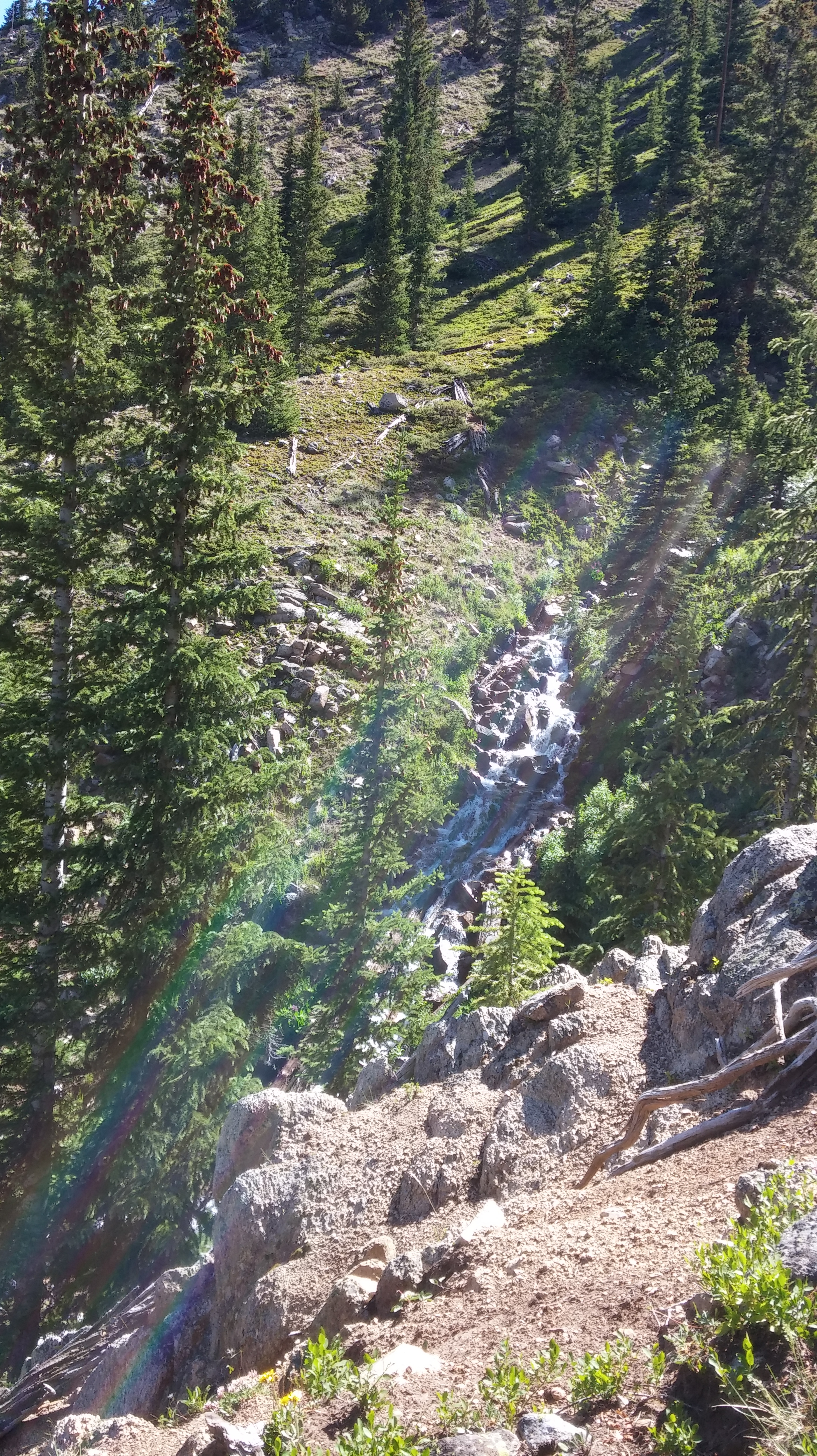
I wish you could have heard it! But, at least you can probably make out the rainbow.
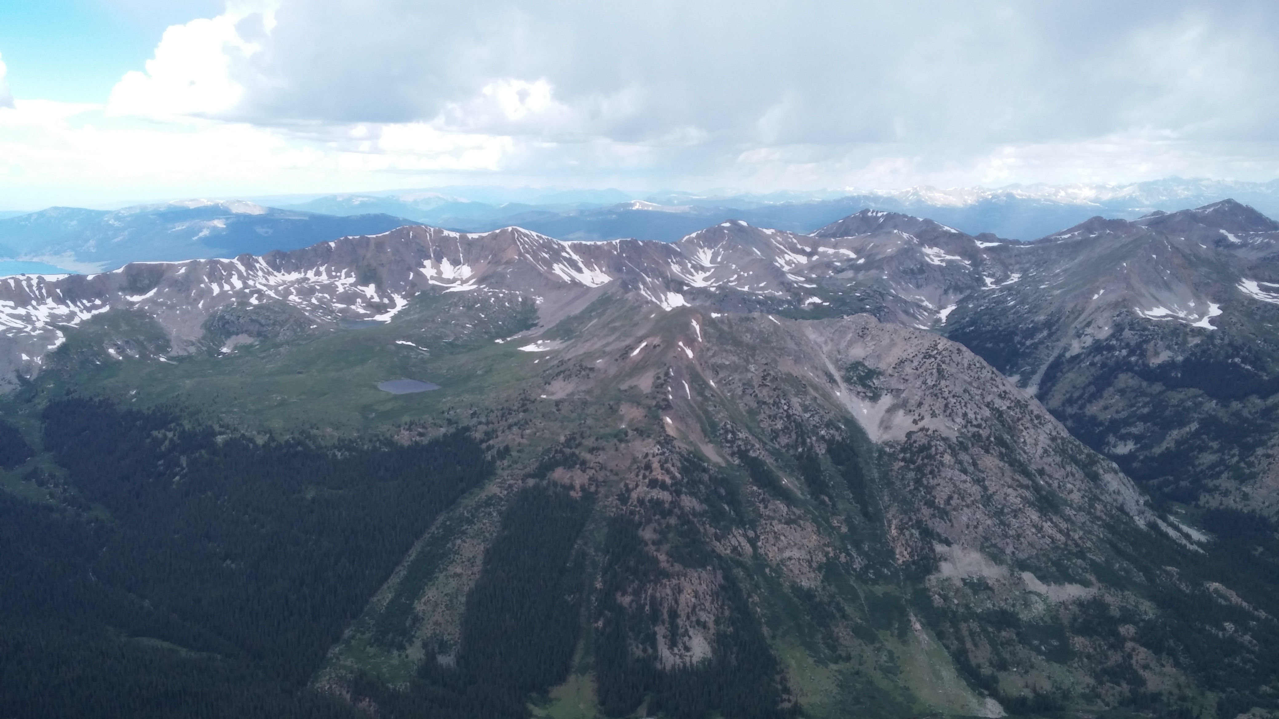
There was a doe too that was almost “talking” to my friend at this point on the trail–but more in the woods too. Combined with being light with laughter, these natural beauty marks made us realize very quickly that this would be an incredible summit. We pushed on drinking water and waiting until we could see some lower mountains that were fabled to have the best views from this trail’s approach. Well, it certainly did not disappoint.
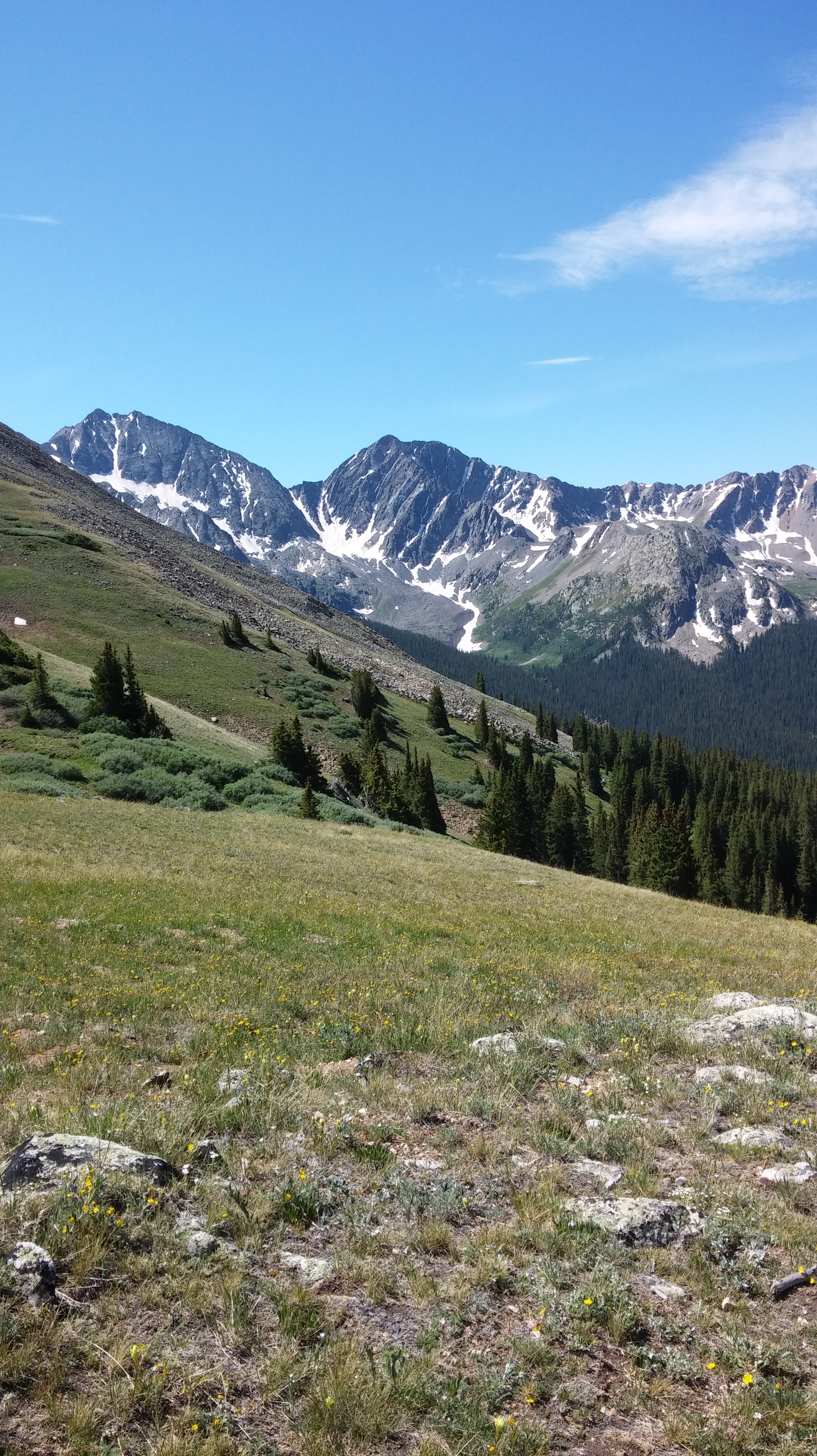
These would peek out a little as we were getting close to leaving treeline, and then for much of the hike we had more and more beautiful views of them.
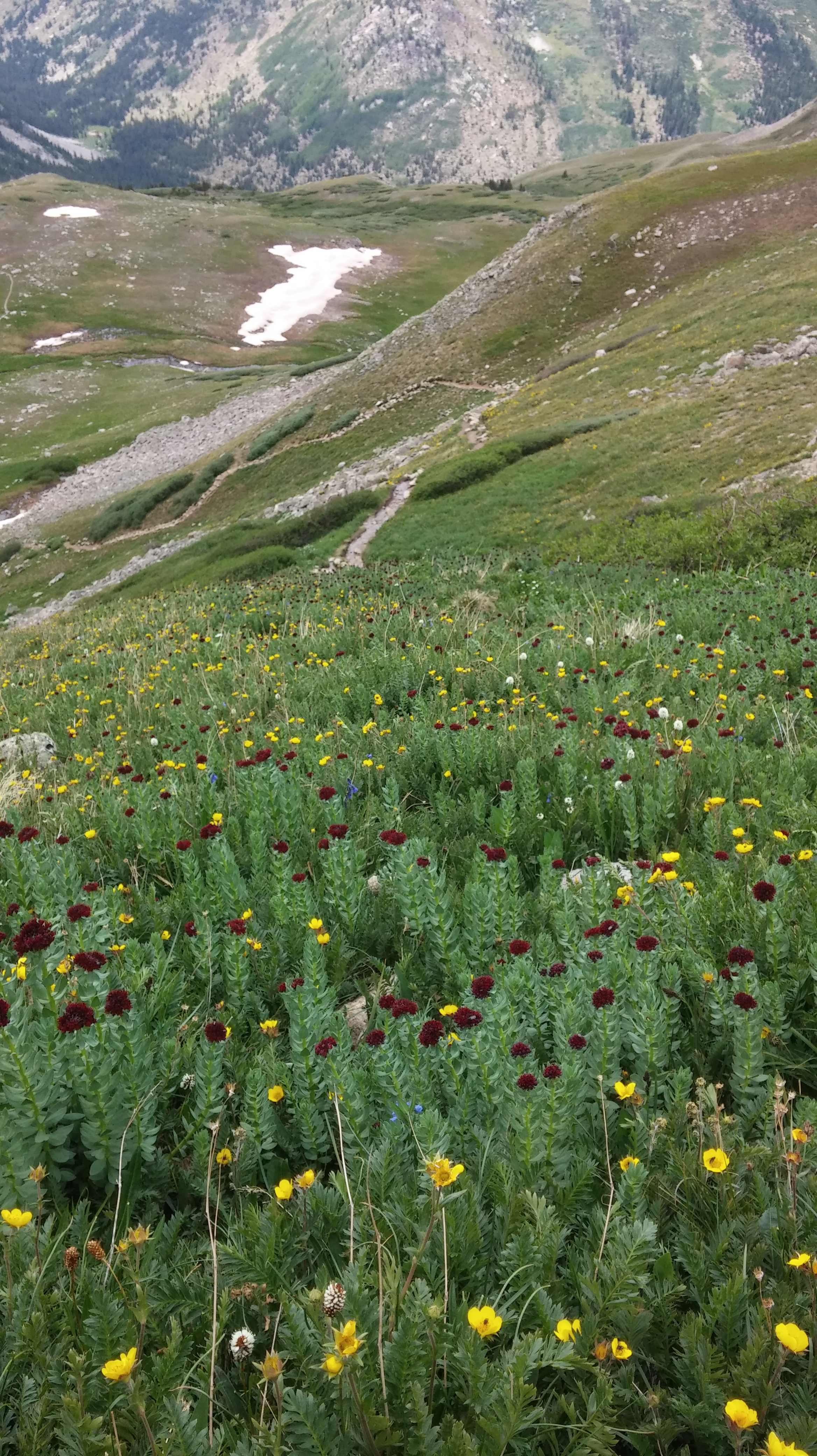
I’m hoping that you can see all the flowers as we left the trees. They were everywhere and in addition to the very bright yellow and white, there were lavender and maroon ones that were phenomenal. The forest hiking was incredible, but this mountain boasts the best views that I have every had out of tree line.
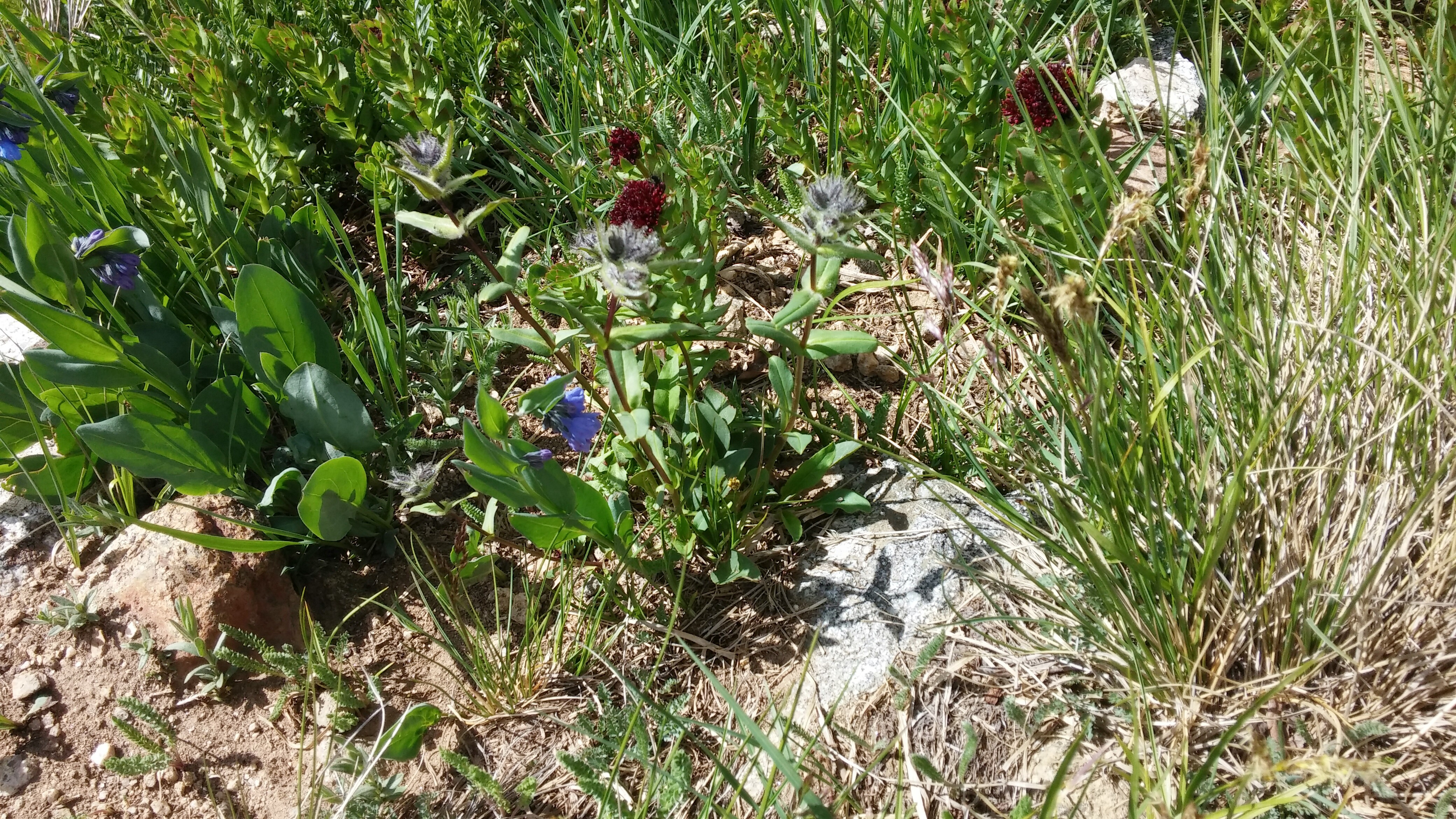
I think because we encountered no snow to pass through, that these were virgin flowers. I felt so lucky and grateful.
The only problem now was that it was 11:30, and you really should be off mountain tops by noon. It’s not safe. We could see some clouds to the north and some way in the south. I was most worried about the latter. So, although we had really made good time, we had to redouble our efforts and we did. I took few pictures, but am including this one so you can see a cool part of the trail. I took it on our descent, but am at this point visually as I write.
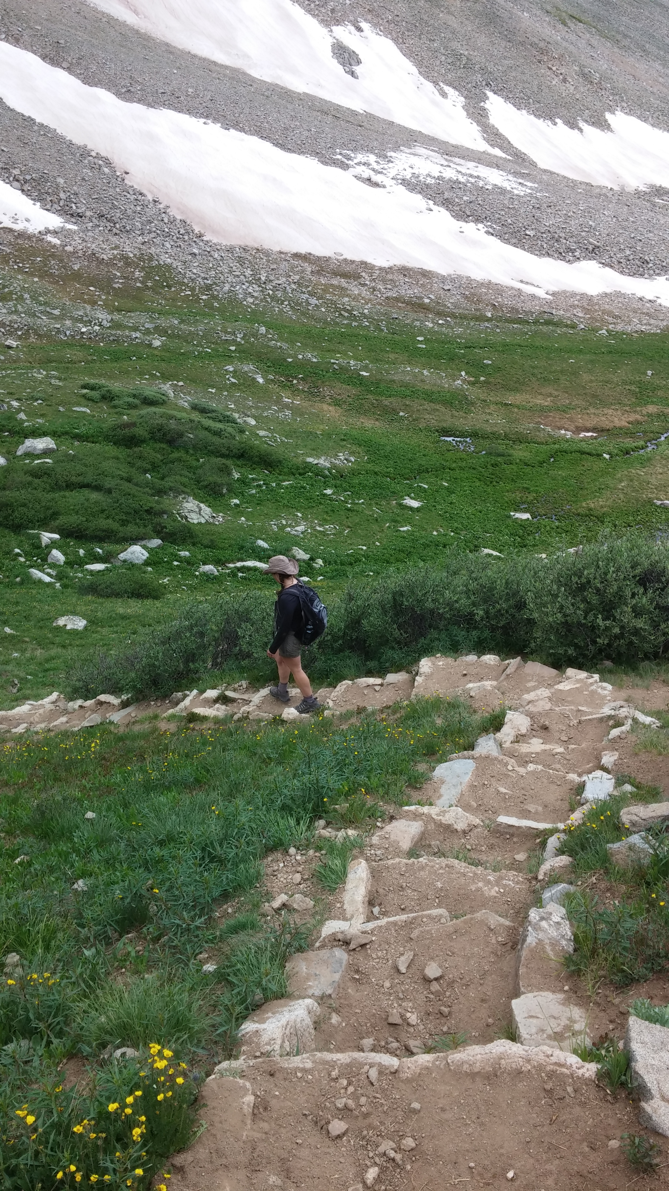
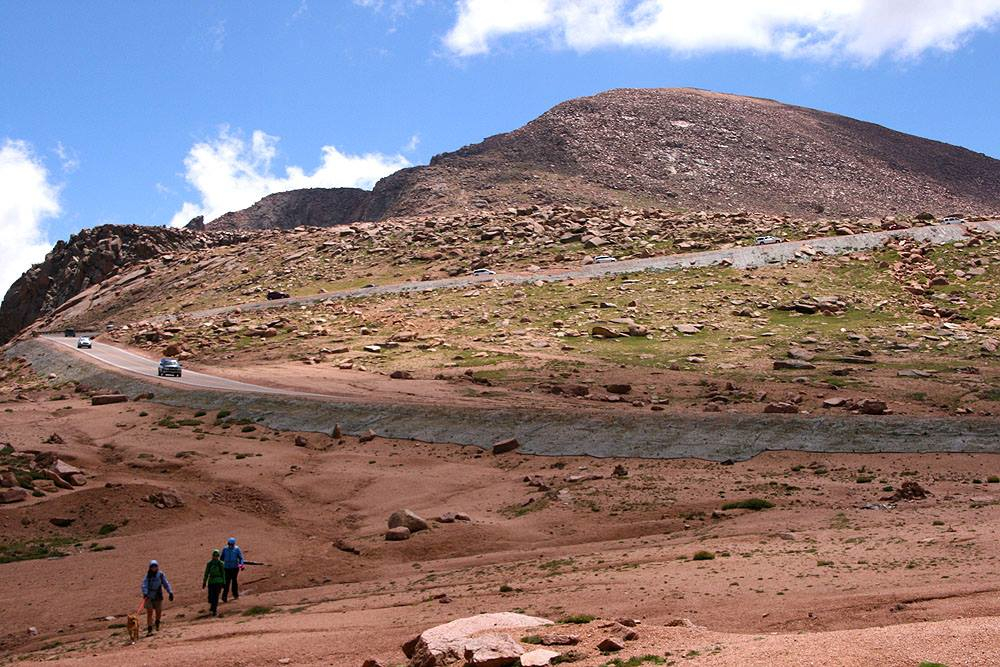
There are organizations who volunteer their time to make improvements such as these so you can enjoy trails. They also help manage scree 🙂
We were keeping up the fastest pace that we could, and we were hoping to get to the top. We had one more chance encounter before we did, and for that, I still feel a little sorry. I think that we did make the right decision, but it still makes me a bit sad. I’m glad that I’m writing about it. I’m also continuing to be grateful for the views that we had during the last legs of our hike.
New life against old, majestic rock
When we had reached probably just over 13,000-feet, a seated woman a bit younger than us was visible. I kept ascending as the pitch became more steep and noted unstable rocks and times that I used handholds. Finally, I was able to get her to smile weakly to return mine. When we finally reached her below 13,500, we started talking to her and she told us that the heights were getting to her. It made me sad. We said encouraging things to her and gave her some anecdotes about our mountain last summer, which was twice as long and had a truly scary amount of boulders that even very tall men couldn’t see past and we had to swing a leg around them while holding on and having our back to pure exposure. Having had that experience, I was not as flustered or anxious on this one; although, the pitch is steep. Here are those rocks (also from last summer):
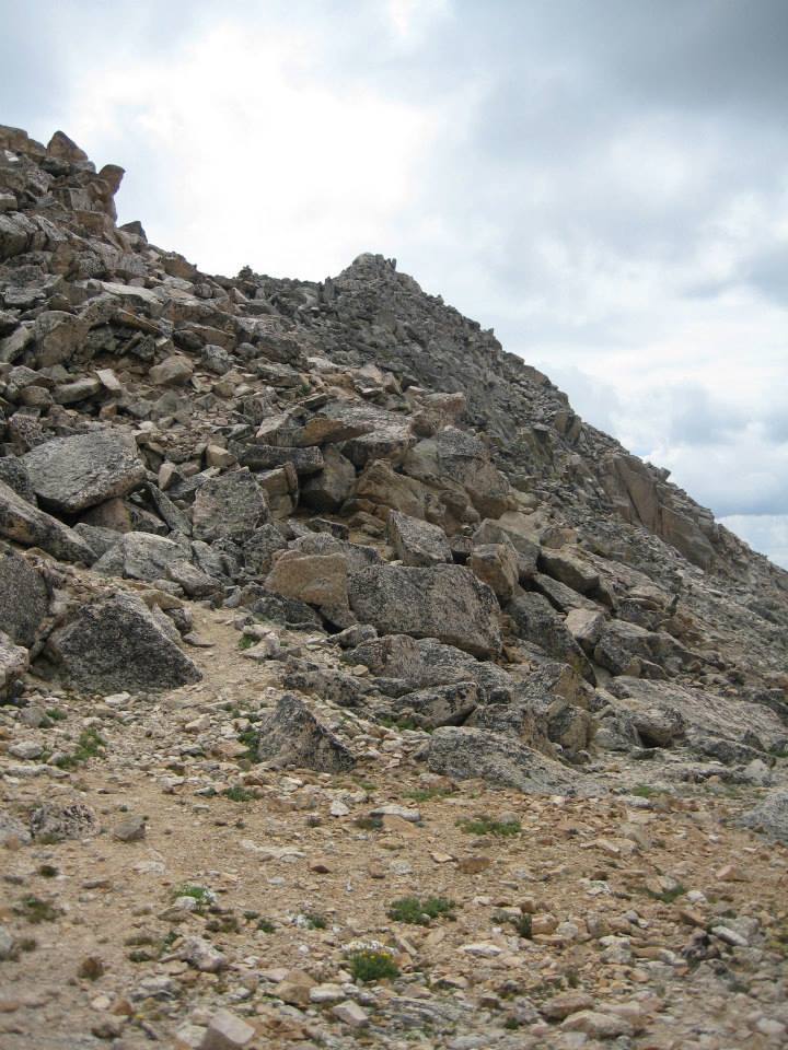
Beyond that bump is not the summit, but you have to swing around it because the rocks are huge.
I have said this statement over and over. Mountains are to be respected, and sometimes you have to come back to them. With the clouds approaching us and her pace just getting slower and slower, we had to push forward. We were the only hikers left on the ascent. Two young men with trekking poles came down and told us that we had twenty-minutes left and we were crestfallen. We asked them to find the scared woman and help her back down. We had seen no lightning or rain, but the south was very dark. We didn’t know if we would see the top. It wasn’t 20. It was 8. I’m sorry that I left a solo woman behind, but honestly, I’ve only done one of these alone, and that was in 2008 when I didn’t know better and also on one of the crowded ones in the front range. I hope that she is ok and will find a friend to go with her in the future. Although we only wound up hiking with her for about 10-minutes, it made me sad that we had to leave her behind. She was semi-paralyzed with fear.
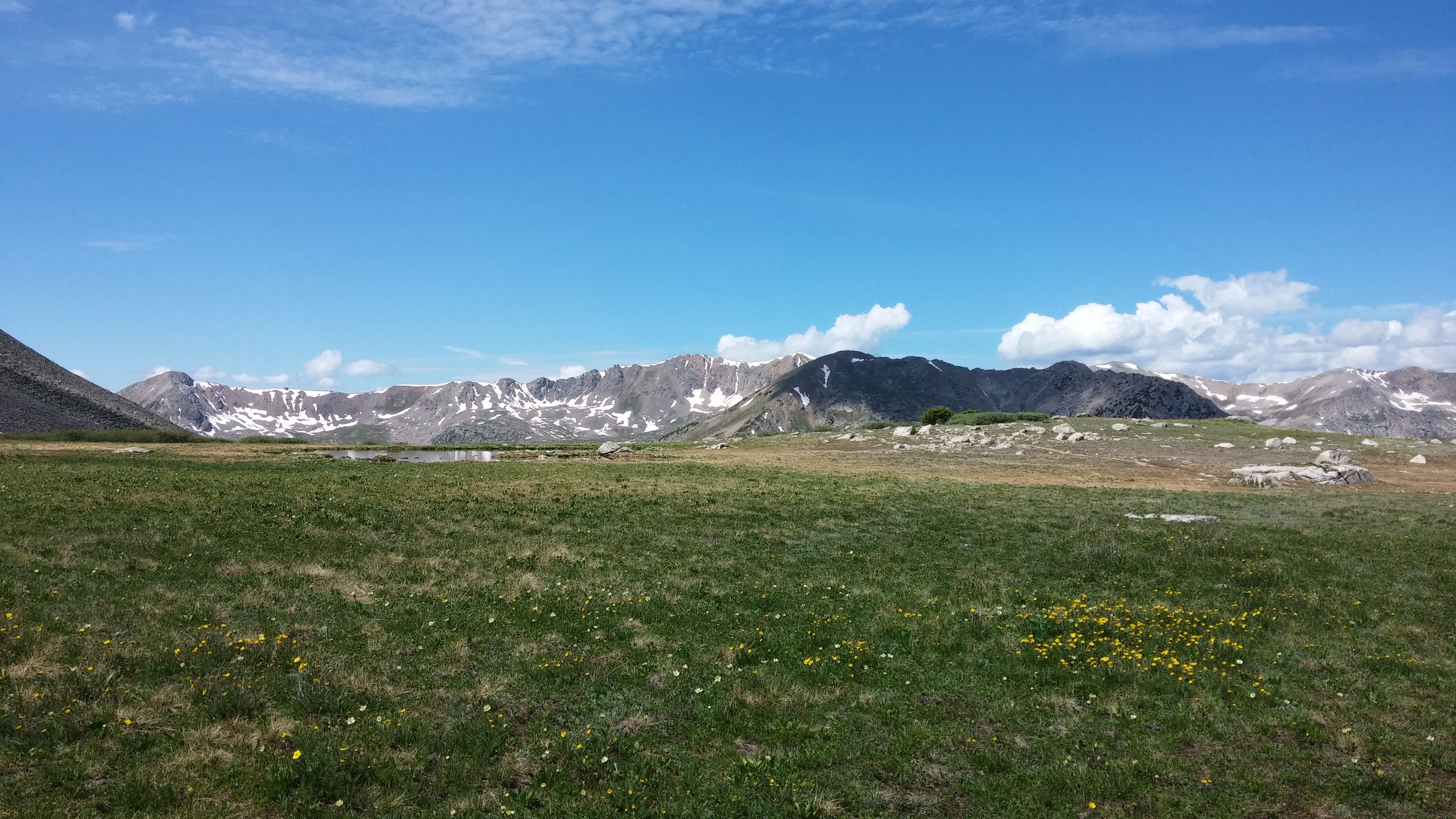
Our summit view to the east
I suddenly had cell signal. My dissertation chair had finished and attached my edits of Chapters 1-4. I had two texts from my partner, which made me feel better about waking her up at 4 so I could drive to this peak. I saw natural glacier lakes. I ate almond butter and honey and felt like I had some new peace. That is what these summits do for me. I’m so lucky. I don’t have a problem in the world. I truly thank you for reading this post.

Pingback: Hiker | Forum of Rachel